Mapire
Interactive historical maps.
Metadata
Section
Region
Type
audiovisual sources books encyclopedias magazines maps newspapers photos primary sources search engine
Period
Why it matters
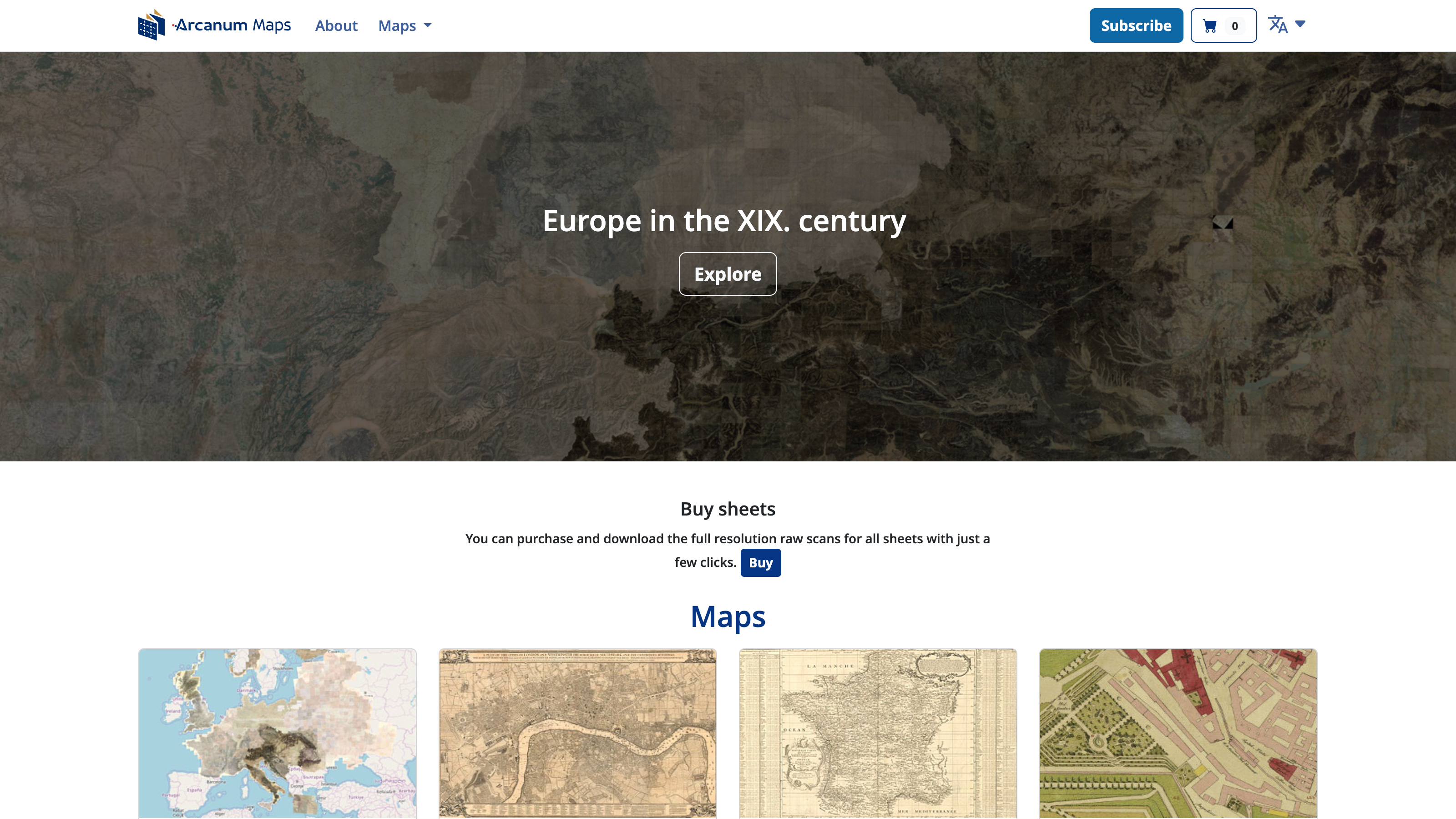
Mapire offers georeferenced historical maps and city plans for Europe, with layered viewing and comparison tools.
It is valuable for spatial history because researchers can trace boundaries, land use, settlement growth, and infrastructure across different map series.