Topotijdreis
Browse and compare Dutch topographic maps (1815 until today).
Metadata
Why it matters
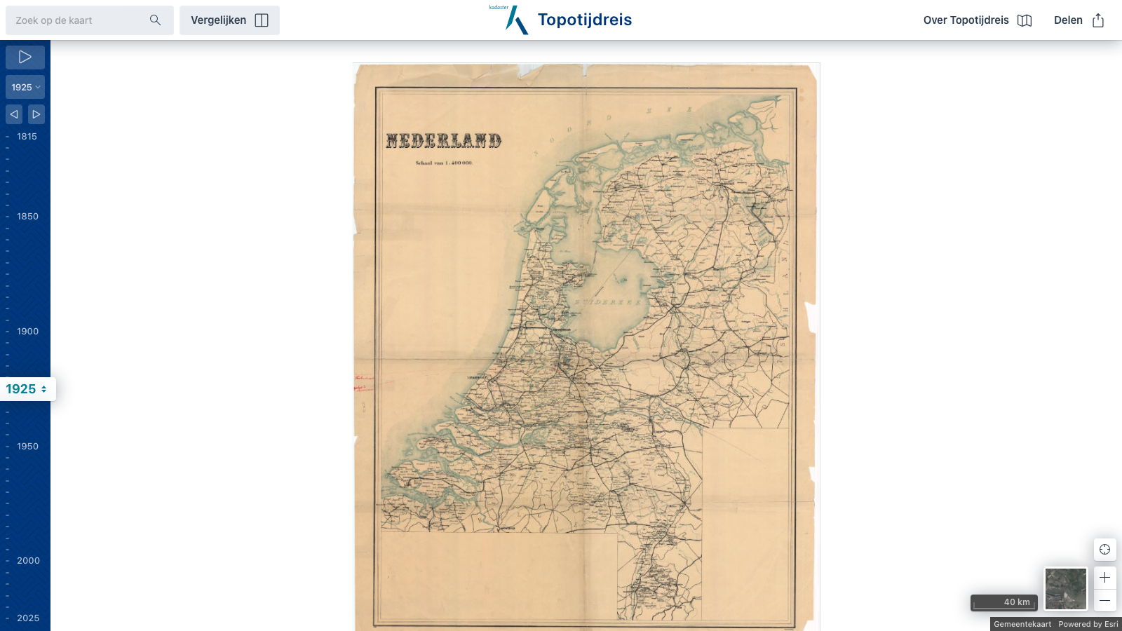
Topotijdreis lets users browse Dutch topographic maps over roughly 200 years, from 1815 to the present.
It is particularly useful for tracking landscape change, infrastructure, settlement growth, and administrative geography over time in the Netherlands.